Floor Plan and Elevation Surveys
You are here:

3D Laser Scanning, Floor Plan and Elevation Surveys

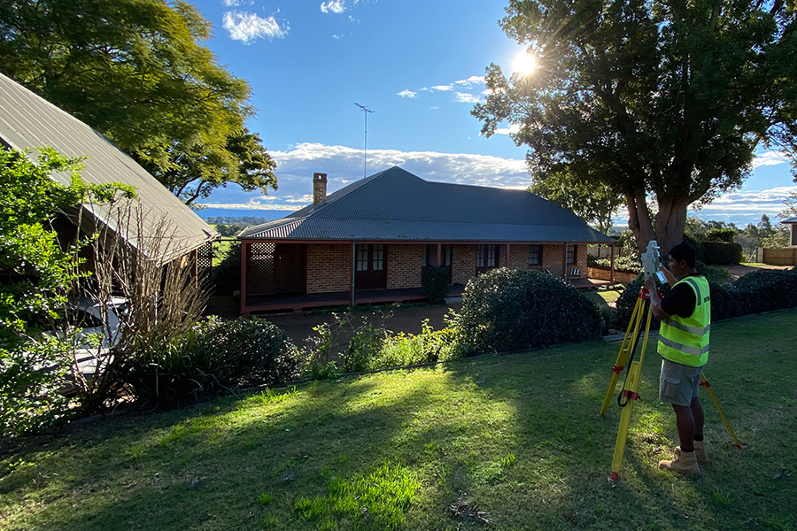
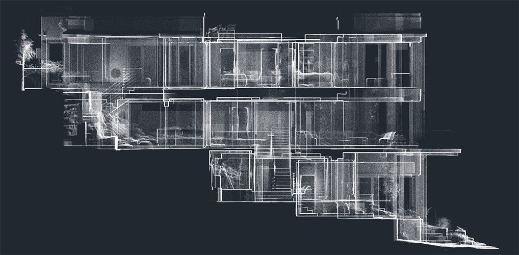
Utilising our expertise in laser scanning we can provide highly detailed laser scanned point clouds for direct use by design professionals or preparation of internal surveys of commercial and residential buildings.

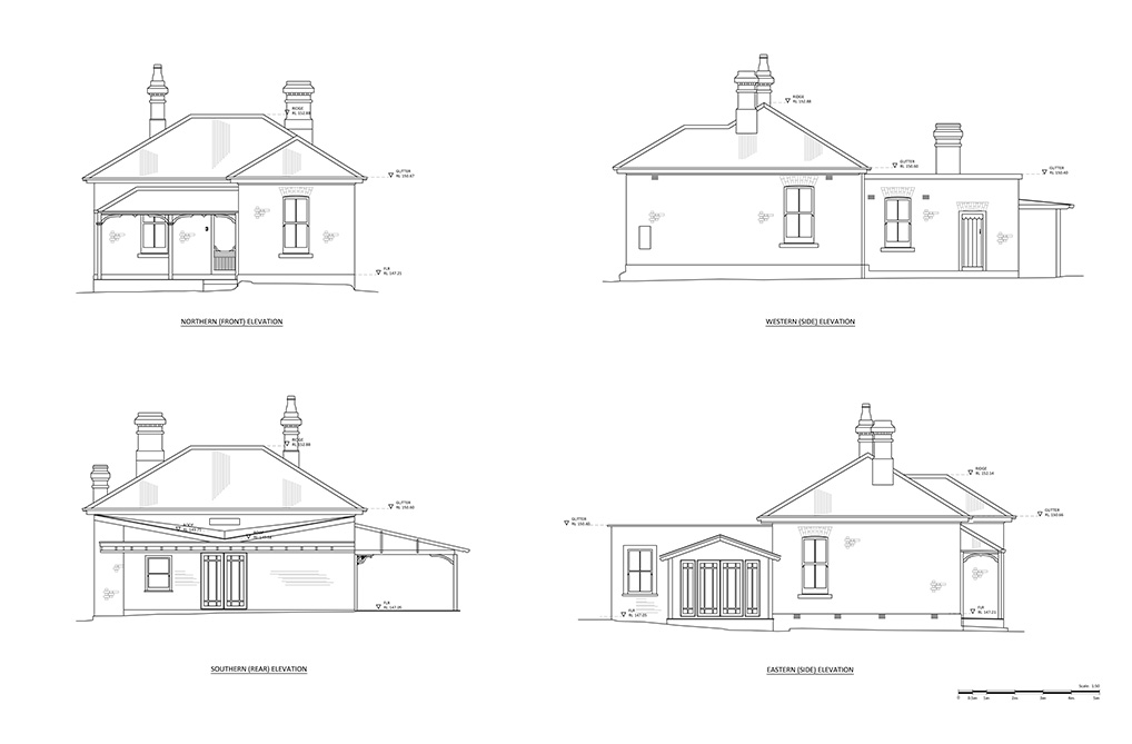
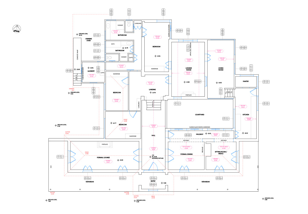
We typically use laser scan data for preparation of 2D floor plans, reflected ceiling plans as well as facade surveys. We are able to provide floor layout drawings to a high degree of accuracy from small inner city terrace houses to multi-level commercial buildings.

Floorplans may be utilised for design purposes as well as the preparation of commercial lettable areas.

Examples of surveys

More services

We handle all types of surveying requirements across the city and throughout New South Wales

  • Boundary Marking
  • House Set-out
  • Identification Surveys
  • Urban & Rural Subdivision
  • Strata Title Subdivision
  • Cadastral Plans
  • Spot Level & Contour Surveys
  • For Planning & Development
  • Connection to AHD
  • Site Establishment
  • Construction Set-out
  • Monitoring & Control
  • Telecommunication Sites
  • Lease & Survey Information Plans
  • Site Coordination

Contact us for a no-obligation fee proposal for your next project.