


Construction set out involves the determination and position set-out of proposed dwellings, extensions or industrial buildings in accordance with council approved plans. Our surveyors will determine the position of cadastral boundaries and thereby the position of buildings within lot boundaries.
Survey marking is one of the first steps in the construction process. As the project progresses, survey reports are prepared as required by the builder, council or building certifier.
The accurate set-out by engineering surveys of construction works (and in particular, buildings) is essential to the management of a construction project. Our expert surveyors are experienced in the set-out of the following types of buildings:
Engineering surveys often involve complex calculations based on architectural and engineering plans prior to set-out. Summit Geomatic has the necessary technology and experience to manage this in a timely and highly accurate way. Our facilities and software allow for the rapid processing of large amounts of survey data, which is particularly valuable on large-scale projects.
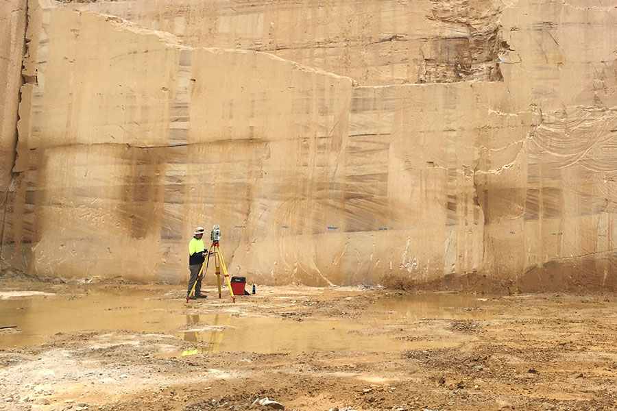
Highly skilled Summit Geomatic surveyors are very experienced at monitoring structures such as retaining walls, or other features such as rock faces, for lateral movement of subsidence.
Our surveyors can determine ‘cut or fill’ volumes for almost any purpose. Typical surveys may involve stockpiles or drainage structures.
As-built surveys can be undertaken for a range of projects such as drainage structures or road pavements. Typically the position, levels and volumes will be determined and may be overlaid onto design drawings.
We provide coordination surveys for a variety of needs, such as infrastructure projects, environmental monitoring or flood studies. We deploy robotic total stations which can measure with pinpoint accuracy to establish control points for a site. Utilising GPS technology, we are able to accurately determine position and height to a range of coordinate systems and datums, even in remote areas.